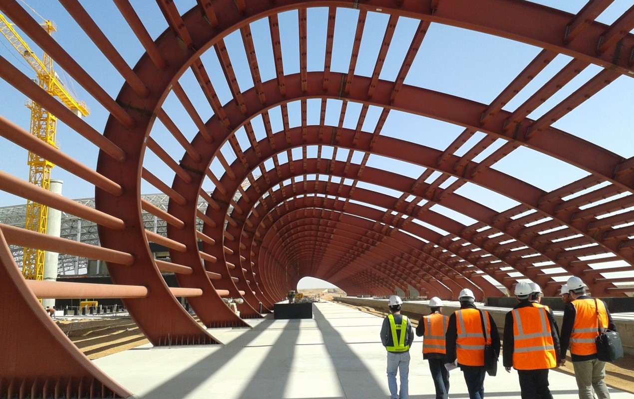
"SAUDI LANDBRIDGE" PROJECT
Italferr has signed with the Public Investment Fund (PIF), on behalf of the Saudi Railway Company (SAR), the contract for the extension of the detailed design of the "Landbridge" railway that will connect the port of Jeddah, on the Red Sea, to Al Jubail, on the Arabian Sea along the new route named "Blue Corridor." This is an enormous rail project, among the largest in the world: 1,300 km of line, with predominantly freight traffic, that will cross Saudi Arabia all its length, thereby joining the two seas surrounding the Arabian Peninsula.
The assignment stems from the previous contract signed by Italferr in July 2013 for the preliminary and final design of the new railway line between Riyadh and Jeddah, for a total length of 958 km, along the route named "Red Corridor".
Overall the new corridor is characterized by Section 1 from km 0 to km 271 (part of the original Red Corridor) and then continues with Section 2 to Al Jubail from km 271 to km 1,300 (Blue Corridor), representing the central element of Saudi Arabia's railway improvement program for the purpose of social and economic development of the entire region.
Work began in July 2013 and ended in April 2018.
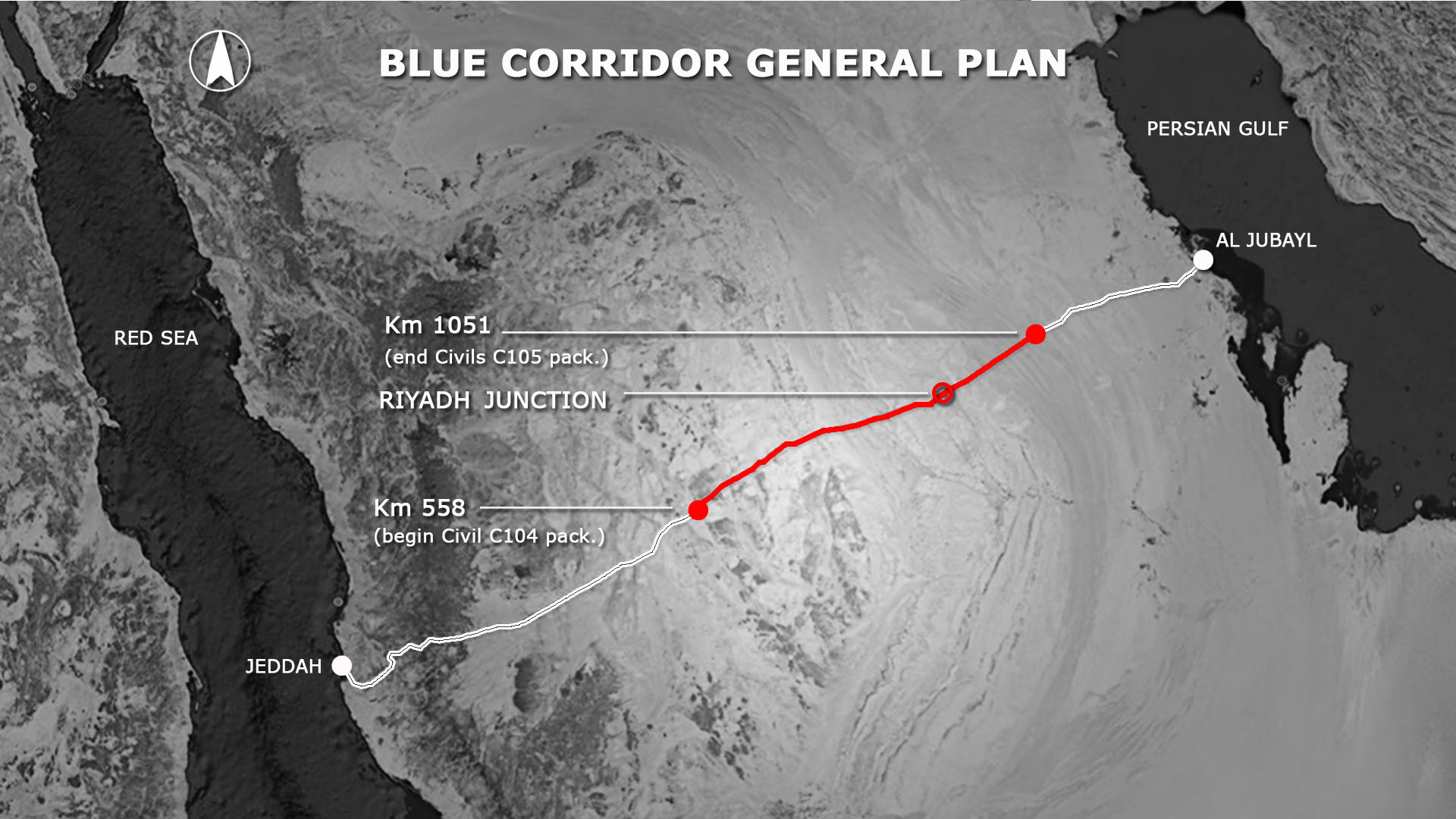
PROJECT DATA
1,300 km of new non-electrified double-track railway line |
Mixed-traffic line with a full-scale design speed of 350 km/h (with electrified line) for passenger trains and 160 km/h for freight trains |
"Double stack" type heavy freight traffic (double containers stacked on cars) with an axle load of 32.4 tons (GCC Standard) and trains about 4,000 m long |
Line interconnected with existing rail network in the vicinity of Riyadh and Al Jubail |
4 passenger stations, the most important of which is the Jeddah interchange station with the Mecca-Medina High Speed line, for which multiple architectural and functional solutions have been studied |
2 large "Dry Port" freight marshalling yards in Jeddah and Riyadh |
The project was extremely challenging due to its size (1,300 km): drafting of 15,000 documents including reports and drawings for the different phases of the project, 620 geotechnical surveys totalling 14,000 meters of development and mapping with Lidar technology totalling 130,000 m. The existence of particularly difficult environmental conditions due to the presence of sand, strong winds and very high temperatures requiring studies and experimentation of innovative solutions to mitigate their effects:
In this regard, Italferr was praised by the SAR for the speed of the design and identification of the most suitable solutions to overcome problems such as the high temperatures that are reached in the section and the crossing of large areas with sand dunes and rocky sections that characterise the Saudi desert.